Historické mapy
Home (Úvod)
Application Enter
Authors gallery
Project information
Application help
Search
Map sets
Year of publication
Region
Author
Scale
Type
Theme of the map
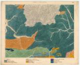
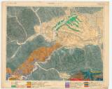
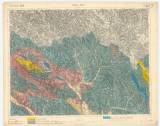
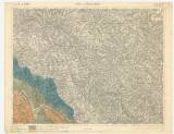
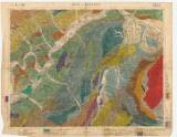
Geological special map of the Kingdom and countries constituting the Austro-Hungarian Empire, (Slovak area), scale 1:75 000
Stará and Nová Bystrica ()
Tvrdošín ()
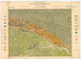
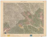
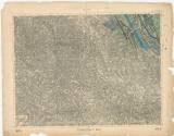
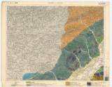
Geological special map of the kindom and countries constituting the Austro-Hungarian Empire (1885)
Bardejov and Muszyna ()
Dukla ()
Mezilaborce ()
Lesko and Medzilaborce ()
Vizovice and Beluša ()
Žilina and Považská Bystrica ()
(C) Czech Geological Survey 2004
www.geology.cz