 |
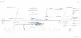
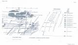
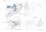
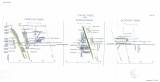
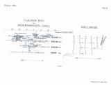
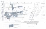
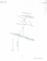
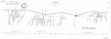
| Montangeologische Übersichtskarte des Staatlichen Bergrevieres St. Joachimsthal [Doplňkové přílohy] (Synoptic mining-geological map of the Jáchymov state-owned mining district) Author: Kraus, Maximilian Author's comment: Year of origin 1913-1914 Country: Czech Republic; Czech Crownlands Document language: German Publisher: k.k. Ministerium für öfentliche Arbeiten, Wien, first edition Supplements (Figures 6,7,8,10,11,12,13) to a paper by M. Kraus: Das staatliche Uranpecherz-Bergbaurevier bei St. Joachimsthal in Böhmen, published in "Bergbau und Hütte", vol.1, Nos 1-5, Wien 1915 Year: 1915 Scale: 1 : 7 500 Theme of the map: geological map with Quaternary deposits, mining map Type: Graphic insert Color: Black and white Form: Bound appendix Kind: Printed Original source for this digital copy : School of Mines – Technical University, Ostrava |


